
THE GRID
The grid is the fundamental framework around which the city is built. This section outlines the most recent versions and definitions of Infninicties grids.
Grid Generator 01:
This is a general purpose grid generator definition designed to be used with non or minimally optimized map data (such as OpenStreetMap data).

Inputs:
- Curves, Lines, Polylines (eg. from map data)
- Surfaces (user defined)
Outputs:
- Streets: Open Curves
- Blocks: Closed Polylines with unified Normals
Parameters:
- offset distance
- largest allowable block area
- smallest allowable block area
Instructions:
- Create a plane surface that contains the entire area you want to generate city blocks from. This will become your surface input.
- Select all curves that you want to generate city blocks from. Typically these will be your street/road curves
- Define the required offset for your city blocks. Note that the resultant street width will be equal to (2)(Offset).
- Note the "Fix Curves" component. This will check for any invalid surfaces that you may need to correct.
- Define the maximum and minimum allowable block areas.
- Check the "Closed Curve" component to ensure that all the resultant curves are closed polylines
Notes:
- If the solution begins to take an exceedingly long time to resolve you may want to limit the number of curves you are solving for at once by dividing them into logical groups. because the complexity of the solution increases geometrically in relation to the number of curves, the sum total of time it takes to calculate the individual divided groups should be significantly lower than if you were to solve all curves at once.
File:
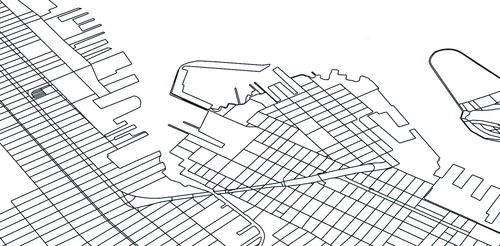
Image 01.1: Input curves
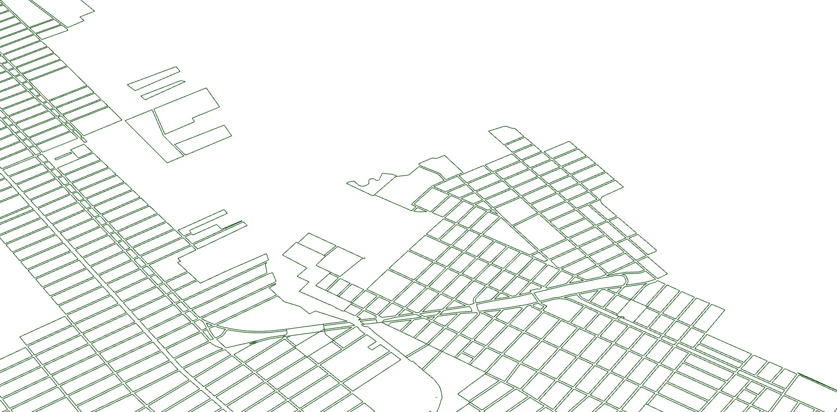
Image:01.2: Output blocks